Third-Party Layers
Integrate and display third-party layers in your Power BI maps
With Geos BI, you can seamlessly integrate third-party layers into your Power BI maps, enhancing your data visualization capabilities.
Currently, we support the Web Map Service (WMS) standard. We have plans to expand our support to include additional layer types such as ArcGIS Image Service and OGC API - Features in the future. If you have specific needs or suggestions, feel free to contact us.
WMS
Integrating a WMS layer into your Power BI map is straightforward. Simply enable the WMS layer in the format settings and provide the service URL:
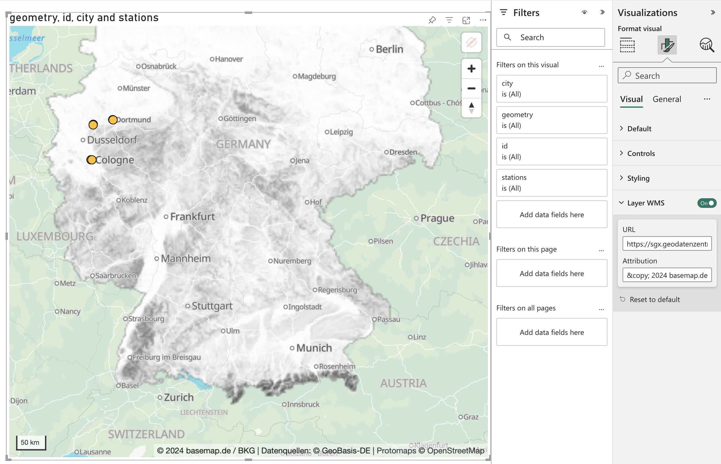
Ensure that the following parameters are included in the URL: